About Me
I am a doctoral student and National Defense Science and Engineering Graduate Fellow at North Carolina State University, specializing in coastal engineering. My research investigates the drivers and impacts of chronic, "sunny day" flooding in North Carolina's Down East region.
I combine hydrodynamics with advanced data science, utilizing semantic image segmentation and numerical modeling methods to validate flood predictions against real-world sensor data. As a KIETS Climate Leader and University of Delaware alumnus, I am dedicated to bridging the gap between engineering models and communities.
In The News
Recent media coverage, interviews, and articles featuring work I have been involved with. Check out other news relating to the Sunny Day Flooding Project here!
NC State Climate and Sustainability Academy
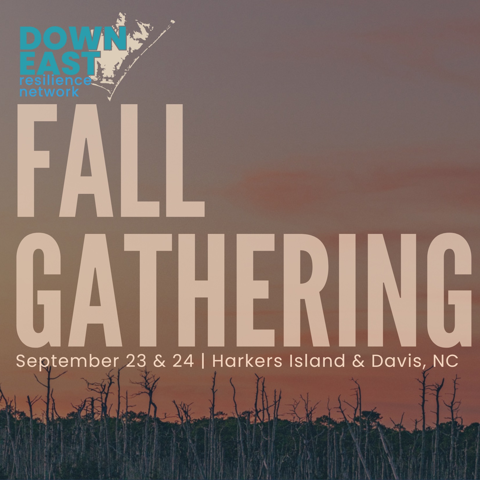
Our team attended and presented at the recent Down East Resilience Network meeting.
Coastal Review
Discussing our recent paper on frequency of flooding in coastal North Carolina.
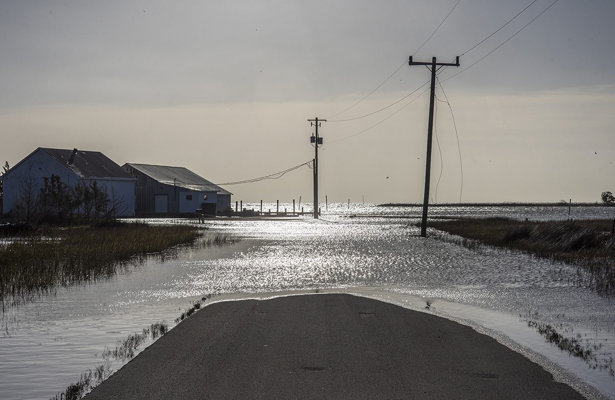
The Washington Post
Coverage of flooding in one of our partner communities, Carolina Beach.
Featured Work
My work focuses on developing and applying computational tools to understand chronic coastal flooding while engaging with community stakeholders.

Water level extraction from flooded imagery
We have developed a method to extract water levels from flooded imagery alone using semantic image segmentation and image georectification techniques. We quantify the added benefit of inundation quantification and analysis from imagery as compared to in-situ sensors.
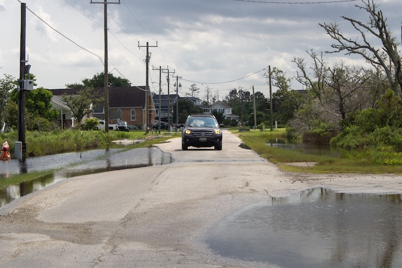
Chronic coastal flooding tolerance in rural North Carolina
Our team asked residents of rural Carteret County, NC about how they live with and tolerate frequent, sea-level rise driven flooding.
With these interviews, we describe how people stay in place despite flooding in the context of socio-economic change, uneven governance, and population aging. We are currently combining these findings with numerical models to explore changes to perceptions of risk and impacts to long-term community livability.
I am always happy to connect and collaborate on ideas, advice, or any other inquiries. The best way to get in touch is via email.
Profile photo by Taylor Wanbaugh.